



Elba Trail Area: Technical trails in the North-East area

SEE GPS TRACKS
Elba trail area is a true paradise for mountain bike lovers, located mainly within the Tuscan Archipelago National Park, on the eastern side of the island of Elba. It is made up of trails of varying difficulty, from the mountain peaks overlooking the municipality of Rio to the lunar landscapes of the iron mines, passing through fantastic panoramas, all with a view of one of the most beautiful seas in the world.
The trails are all available in GPS tracks and there is dedicated horizontal signage. There are also paper maps of the trail area throughout the Elba territory and a guide and shuttle service is active all year round with dedicated ship discounts. Trailforks is an excellent tool for planning your bike rides, the app indicates all the parking lots near the trails, the places where you can stock up on drinking water and the point where the free Ebike charging station is located.
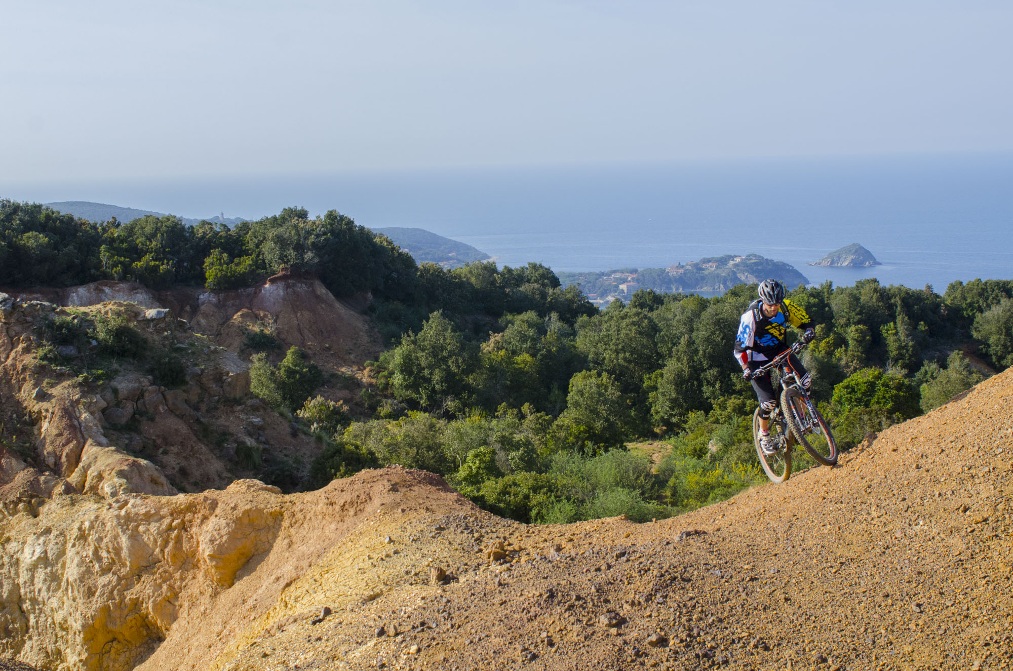
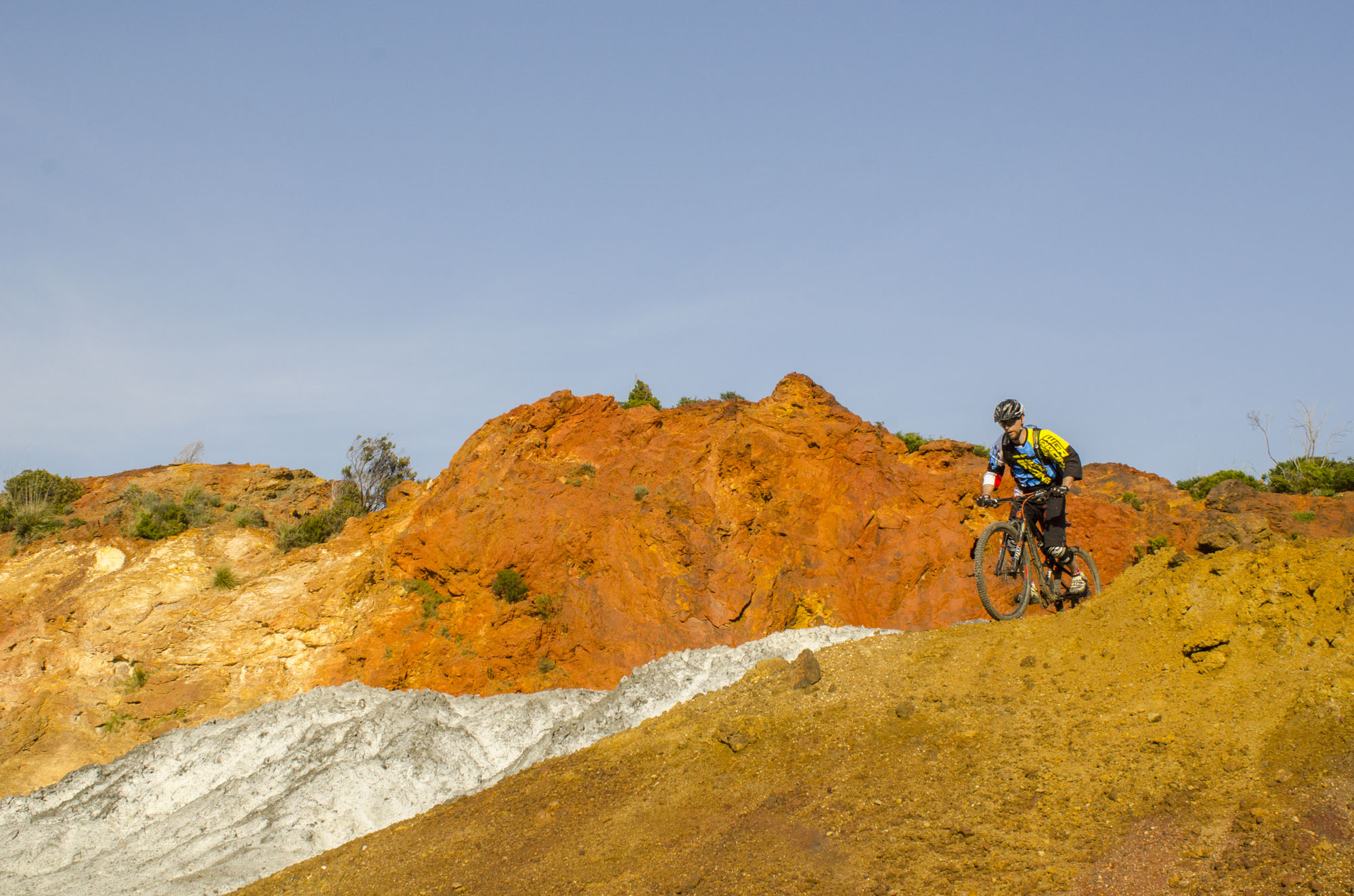
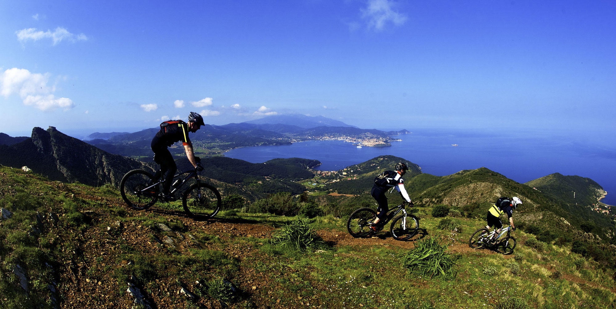
It consists of 8 trails of varying difficulty, from the peaks of the mountains overlooking the municipality of Rio to the lunar landscapes of the iron mines, passing through fantastic panoramas all always overlooking the sea.
The trails are all available in GPS tracks and there is dedicated signage along the routes:
Route 1: Miniere (green) – medium
Route 2: Strega (yellow) – medium
Route 3: Mezza Strega (red) – easy
Route 4: Scalette (light blue) – difficult
Route 5: Vignola (purple) – medium
Route 6: Cavo (blue) – difficult
Route 7: Serra (pink) – medium
Route 8: Buca del Bandito (black) – difficult
OFFICIAL SITE
WANT TO BOOK THE TOUR? Contact us
or visit the experience page